 Banff City Guide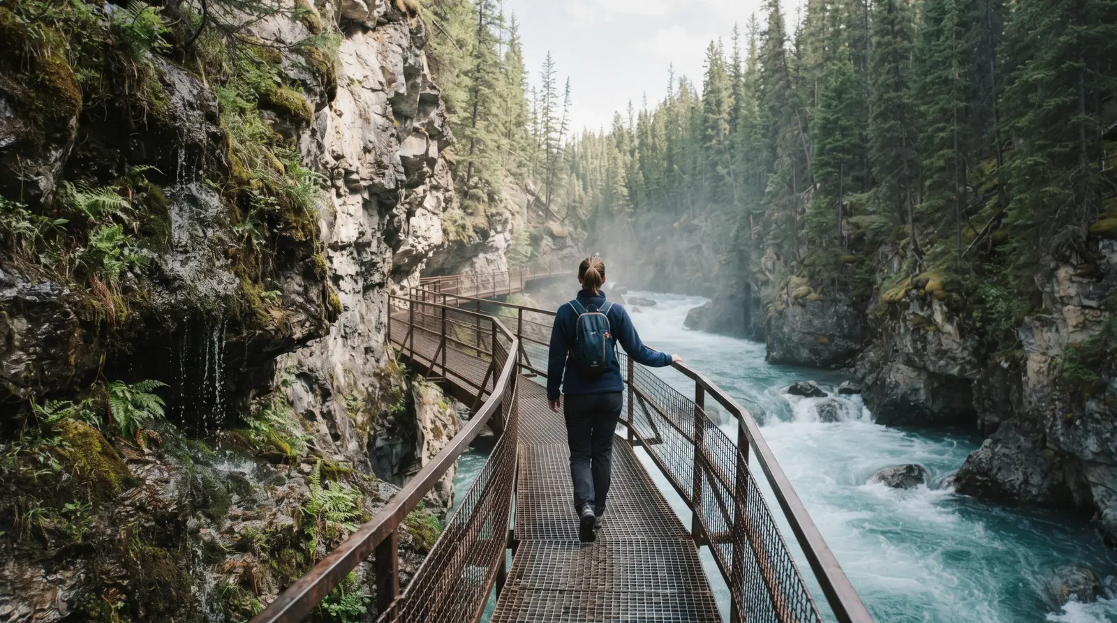
Johnston Canyon: Catwalks, Falls, Ink Pots
Johnston Canyon is a creek gorge on the Bow Valley Parkway with steel catwalks pinned to the rock walls. This page covers the trail to the Lower Falls, the Upper Falls and the Ink Pots, plus the winter ice scene. Park entry rules live on our Banff park pass page. The whole valley, start to finish: the Banff homepage.
Quick answer Distances, cost and the parking truth in 30 seconds
Johnston Canyon is a 25 km drive northwest of Banff on the Bow Valley Parkway. The trail is free and open year-round with no gate or ticket. The Lower Falls are 1.1 km from the trailhead, the Upper Falls 2.4 km one way and the Ink Pots 5.5 km. The parking lot fills early on summer days, so arrive at dawn or take transit. In winter the trail is usually very icy and Parks Canada strongly recommends ice cleats.
Key takeaways
- Walk it yourself for free, or let a coach handle the driving on the Banff National Park and Johnston Canyon Day Trip.
- The trailhead sits on the Bow Valley Parkway, one of the park's best slow drives, so budget time for the road as well as the trail.
- For a winter visit with gear and a guide included, the Johnston Canyon Icewalk runs about 4 hours from Banff.
- Pairing the canyon with Lake Louise in one morning works as the Lake Louise and Johnston Canyon Half-Day Tour.
Key facts
Opening hours
| Trail open year-round. icy in winter, cleats recommended |
|---|
Admission
- Adult
- Free. parking fills by mid-morning in summer
- Free
- No gate, no ticket
Planning it
- Time needed
- Not stated. our routing: 2-3 hours to the Upper Falls
- Book ahead
- Optional — walk-up usually fine
- Address
- Johnston Canyon day-use area, Bow Valley Parkway (Hwy 1A)
Tickets and Guided Options Compared
The trail itself needs no ticket. The table below compares the official Parks Canada entry information with the bookable tours that visit the canyon, including a day trip, an e-bike option and the winter icewalk. Tour prices are the listing prices on the booking platforms, quoted as the platforms list them.
Do you want to drive yourself and walk free, or hand the transport, gear and guiding to someone else?
| Option | Type | Price | Duration | Good for | Book |
|---|---|---|---|---|---|
| Parks Canada trail accessDrivers, cyclists and transit riders who want the canyon on their own clock | Self-guided walk | Free (no gate) | Not stated | Everyone, any season | Official site |
| Banff National Park and Johnston Canyon Day TripTravellers without a car who want transport and park context handled | Coach day trip | $64.78 | See the listing | Car-free visitors | Check Availability |
| E-Bike and Walking Tour in Johnston CanyonRiders who want the parkway by bike and the catwalks on foot | E-bike plus walk | Listed at checkout | See the listing | Active visitors | Check Availability |
| Johnston Canyon IcewalkAnyone who wants cleats, headlamps and a guide on the frozen canyon | Guided winter walk | $79.45 | 4 hours | Winter visitors | Check Availability |
Park entry fees apply to Banff National Park as a whole and are separate from this trail. Prices for tours are the platforms' listing prices and change without notice. Figures current for in Q3 2026.
Canyon Tours You Can Book
Three bookable formats reach the canyon: a guided coach day, an e-bike ride down the parkway and a winter icewalk. Each links its own card.
 from $64.78
Banff National Park and Johnston Canyon Day Trip
Coach out to the canyon catwalks with park highlights on the way, guided, from Banff or Calgary.
Check Availability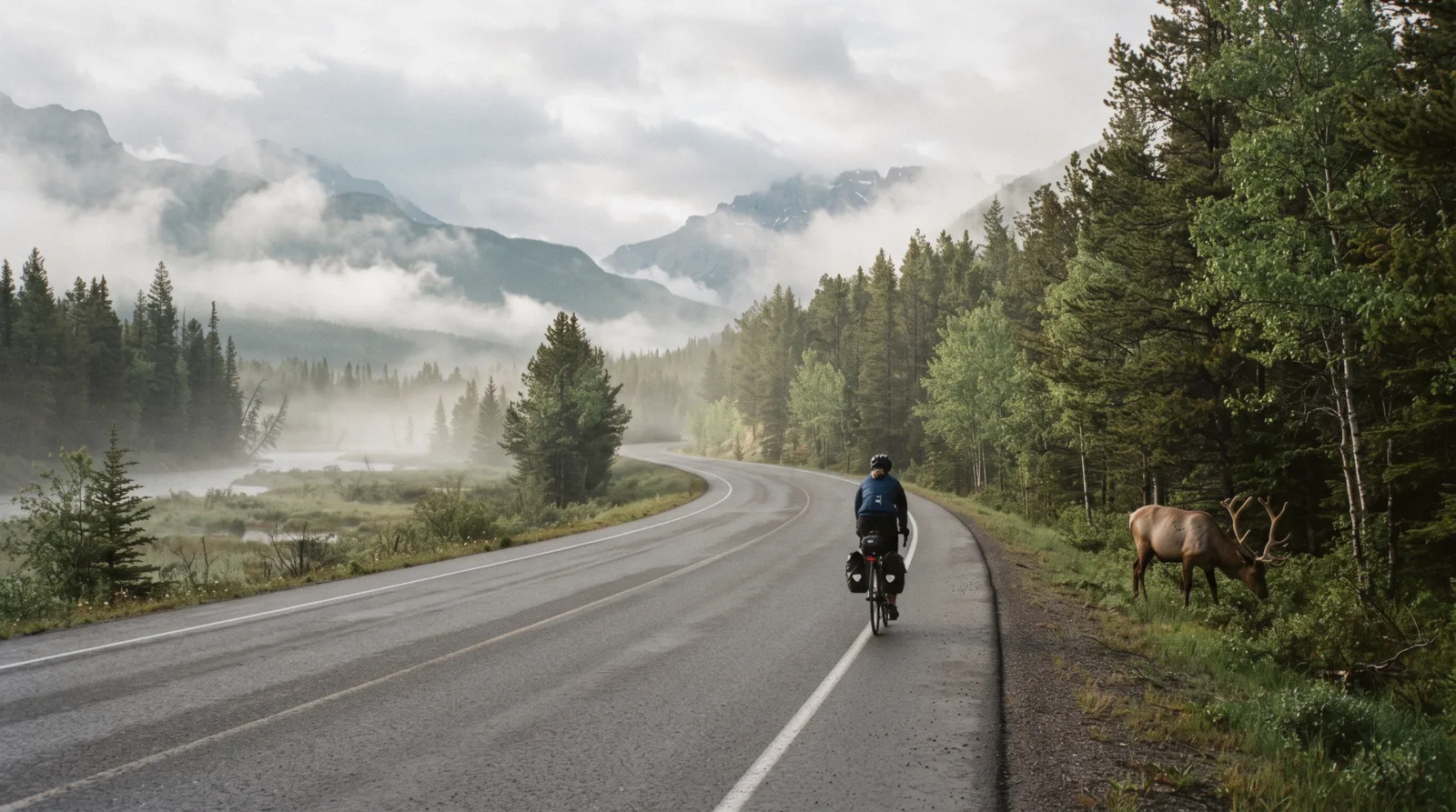 from Listed at checkout
E-Bike and Walking Tour in Johnston Canyon
Ride the Bow Valley Parkway by e-bike, then walk the canyon catwalks — the active way in without a car.
Check Availability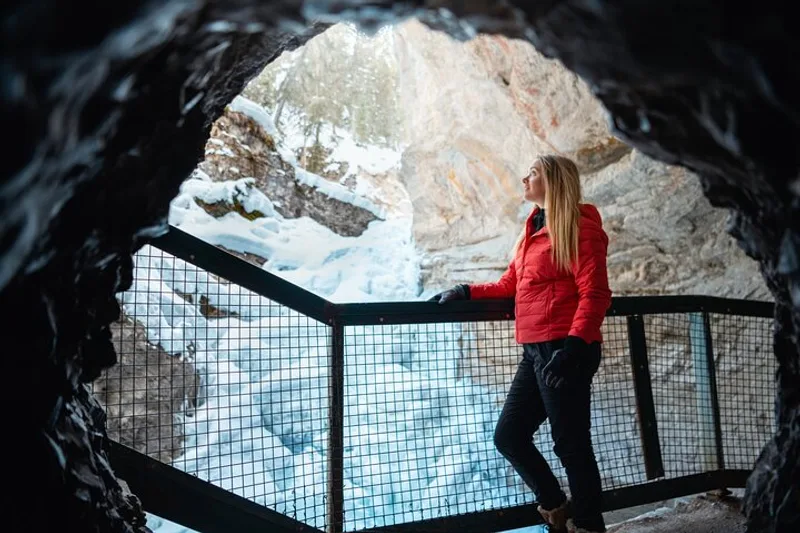 from $79.45
Johnston Canyon Icewalk
The frozen canyon after dark or dawn: ice cleats, headlamps and a guide to the frozen Upper Falls.
Check AvailabilityPrices, ratings and details are the platform's own. dollar figures are the listed prices — the platform bills in your account's currency.
The Trail: Catwalks to the Lower Falls
The canyon walk is Banff's most engineered path. Steel walkways are bolted to the gorge walls and carry you above the water the whole way. Parks Canada lists the surface as fully paved and the grade as gentle enough that it sits on the easy end of its hiking list.
What the Numbers Actually Are
Parks Canada prints three figures and they matter, because an older blog figure still floats around. The Lower Falls are 1.1 km one way from the trailhead, with about 85 m of climbing, listed at roughly 1 hour. The Upper Falls are 2.4 km one way, about 2 hours return with 215 m of gain.
A side spur runs 265 m further to the viewpoint at the very top of the Upper Falls. The old "2.7 km to the Upper Falls" number is not printed on any current Parks Canada page. Use 2.4 km for planning.
The Walk Out
You start in the day-use area, cross the creek and climb through forest until the canyon walls pinch in. From there the catwalks take over. Railings, plating and tunnels carry you past the first narrow gorge.
The first bridge crossing gives you the classic view down the churning water. Poles and strollers manage the route, though the paving is uneven in places and the path can be busy enough that passing means waiting for a gap.
The Lower Falls and the Cave
At the 1.1 km mark the trail reaches the Lower Falls. A short one-way tunnel through the rock leads to a small platform close to the spray. You will get wet from the mist on busy days and soaked in spring high water.
This is the turnaround point for most families, and it is a fair reward for about half an hour of walking. If you stop here, the round trip fits inside an hour and a half including photos.
Distances at a Glance
The table compares the three official waypoints on the trail using Parks Canada's own listed distances, gains and rough times. The winter row shows how the official winter list measures the same path slightly differently, and the extra distance to the Ink Pots once you leave the falls.
| Destination | One way (summer) | Elevation gain | Parks Canada time | Winter note |
|---|---|---|---|---|
| Lower Falls | 1.1 km | 85 m | About 1 hour | Listed as 1.2 km one way in winter |
| Upper Falls | 2.4 km | 215 m | About 2 hours return | Listed as 2.5 km one way in winter |
| Ink Pots | 5.5 km | 425 m | 4 hours round trip | 3.2 km beyond the Upper Falls |
Distances, gains and times from the Parks Canada Banff hiking page and the official winter walking list.
The Upper Falls and the Ink Pots
Most visitors turn around at the Lower Falls. Those who keep going get a bigger waterfall, fewer people per metre and, if they commit to the full route, a set of spring pools in a quiet meadow.
Climbing to the Upper Falls
Past the Lower Falls the trail climbs steadily through more forest and crosses the creek on higher bridges. The canyon opens and closes around you. At 2.4 km you reach the main viewpoint, across the pool at the base of the falls.
A further 265 m of side trail gains the rim and gives you the view from the top, where the whole creek compresses into a single chute. Our estimate for the full out-and-back from the parking lot, including both viewpoints and breaks, is 2-3 hours.
Onward to the Ink Pots
Beyond the Upper Falls the trail leaves the canyon and climbs through forest for 3.2 km to the Ink Pots, a group of mineral springs in a meadow below Johnston Creek's headwaters. Parks Canada lists the Ink Pots Trail as 5.5 km one way with 425 m of gain and about 4 hours round trip from the canyon trailhead. The pools carry a green-blue tint from the minerals.
It is a quiet walk compared with the catwalks, and most of the crowd never arrives.
Is the Full Route Worth It?
Our pick: if you have half a day and reasonable legs, do the Ink Pots. The canyon section is the scenery, but the meadow is where the park stops feeling like a queue. Bring water and layers.
There is no food or water service on the trail, and the day-use area toilets are the last ones before the falls section. For longer trip planning, our Banff hikes hub ranks where this walk sits against the bigger summits.
Figures from the Parks Canada hiking page. Any walking-time estimate flagged as ours is our estimate.
Crowds: The Parking Reality and the Quiet Hours
Johnston Canyon is free and famous, which is exactly why the day-use area is the bottleneck. The trail itself never closes to capacity. The parking lot does.
When the Lot Fills
Parks Canada's own trail listing says the parking fills quickly, and summer experience backs it up. Our estimate is that a mid-July arrival after 9 am risks a long wait or a full lot on peak days. Once the lot is full, cars circle and park illegally on the parkway shoulders, which rangers ticket.
Arrive at or before sunrise, or skip driving entirely.
Getting There Without the Lot
Three alternatives beat the parking scrum. Roam Transit Route 9, the Johnston Canyon Regional route, serves the trailhead in summer, with a single ride at $5 adult and a day pass at $10 adult. The Banff National Park and Johnston Canyon Day Trip takes the whole driving problem off your hands.
The e-bike option, the E-Bike and Walking Tour in Johnston Canyon, rides the Bow Valley Parkway and parks nothing at all.
Quiet Windows
Dawn is the golden slot in every season. Late afternoon works in shoulder months. Midday in July and August is the single busiest window in the park, since day visitors from Calgary time their canyon stop for exactly that hour.
Winter weekdays see a fraction of the summer traffic, and the frozen canyon is a different experience at 8 am than at 1 pm.
Driving the Parkway Itself
The trailhead is 25 km northwest of Banff and 33 km southeast of Lake Louise, all on the Bow Valley Parkway (Hwy 1A). The road is a destination in its own right, with low speed limits and wildlife at the roadside. Drive it slowly, especially at dawn and dusk, and read our Bow Valley Parkway page for the pull-offs worth stopping for.
Trailhead distances and the parking warning come from the Parks Canada hiking page. Roam Transit fares from roamtransit.com.
Winter: The Frozen Canyon and the Icewalk
Winter changes the canyon's character completely. The creek slows, the spray freezes into climbing columns and the Upper Falls turn into a 30 m wall of ice. Parks Canada lists the winter walk as an easy self-guided route, which surprises visitors who expect a guide to be mandatory.
Ice, Cleats and the Official Advice
Parks Canada's winter page is blunt: the trail is usually very icy and ice cleats are strongly recommended. Snowpack compresses into a polished chute between the catwalk railings. Without cleats you are crab-walking.
Buy or rent cleats in Banff before you drive out. The official winter distances run slightly longer than the summer figures, with the Lower Falls at 1.2 km and the Upper Falls at 2.5 km one way.
The Frozen Falls
The payoff is the Upper Falls, frozen into a single 30 m blue-white column that ice climbers use as a training wall. The viewpoint at the base stays open and the spray-driven ice formations around the Lower Falls are worth the short walk on their own. Our winter in Banff page stacks this up against skating, sleigh rides and the rest of the cold-season list.
Joining a Guided Icewalk
Self-guided is legal and common. Guided adds gear, interpretation and a set departure time, which matters when the parking lot is limited by snow storage. The Johnston Canyon Icewalk runs about 4 hours from Banff with ice cleats and headlamps included in the kit.
If you go alone, carry a headlamp anyway in the short days, tell someone your plan and keep well clear of the climbers' icefall zones at the base of the falls.
Winter conditions, distances and the frozen-falls description from the Parks Canada winter walking list.
Canyon Map
The trailhead on the Bow Valley Parkway, the Lower Falls and the wider valley context, from Banff townsite toward Lake Louise.
Nearby
The canyon sits between Banff and Lake Louise, so it pairs naturally with stops on the same road.
Lake Louise
The canyon and the lake stack neatly into one day, which is exactly what the half-day combo tour sells. Check our Lake Louise page for the shuttle and parking rules before you go.
33 km northwest of the trailhead (official figure) Check AvailabilityBow Valley Parkway
Hwy 1A is the slow, wildlife-rich alternative to the Trans-Canada. Our guide covers the pull-offs between Banff and the canyon.
The trailhead is on this road Check AvailabilityLake Louise Village
Fuel, food and the visitor centre for the Louise end of the valley, useful if you are combining canyon and lake in one run.
Toward the lake end of the parkway Check AvailabilityJohnston Canyon Questions
How long is the Johnston Canyon hike?
The Lower Falls are 1.1 km one way, the Upper Falls 2.4 km one way and the Ink Pots 5.5 km one way. Parks Canada lists about 1 hour for the Lower Falls, about 2 hours return for the Upper Falls and 4 hours round trip for the Ink Pots. Our routing for the Upper Falls from the parking lot is 2-3 hours including breaks.
Is Johnston Canyon free?
Yes. There is no gate and no trail ticket. Normal Banff National Park entry fees apply to the park as a whole, which is separate from the trail. Parking at the day-use area is free but fills quickly in summer.
Is it 2.4 km or 2.7 km to the Upper Falls?
Parks Canada currently prints 2.4 km one way to the Upper Falls on its summer hiking list and 2.5 km on its winter list. The 2.7 km figure that circulates in older guides is not on any current official page. Plan on 2.4 km.
Do I need a guide in winter?
No. Parks Canada lists Johnston Canyon as a self-guided easy winter trail. The trail is usually very icy and ice cleats are strongly recommended. A guided option such as the Johnston Canyon Icewalk bundles transport, cleats and a guide if you prefer not to drive the icy parkway yourself.
What time should I arrive to get parking?
Parks Canada states only that parking fills quickly, without publishing an hour. Our estimate is that sunrise arrivals are safe in summer and a 9 am or later arrival on a peak July day is a gamble. Roam Transit Route 9 and the coach tours avoid the problem entirely.
Can you push a stroller or use a wheelchair on the trail?
Parks Canada lists the trail to the Lower Falls as 100% paved. The surface is wide and railed along the catwalks, but it is uneven in places and can be crowded, so progress can be slow. The trail beyond the Lower Falls climbs more steadily and is rougher underfoot.
We may earn a commission if you book through one of our links, at no extra cost to you. Full affiliate disclosure